
Lima ZIP Code Coverage
Lima-related postal research touches six codes, but only some have a concrete local address example in the source material. The Census data portal returns ZCTAs for 45801, 45804, 45805, 45806, and 45807. A ZCTA is the Census Bureau’s statistical approximation of a ZIP Code service area. It is not a United States Postal Service delivery boundary, a parcel boundary, or a city-limit map. The table therefore names only the coverage that the sources actually support.
| ZIP Code | Documented Lima connection | Post-office or source clue | Research note |
|---|---|---|---|
| 45801 | Lima Census ZCTA; Recorder physical office | Recorder, 301 N. Main St., Lima | Verify a specific delivery address with USPS. |
| 45802 | Recorder mailing code | Recorder P.O. Box 1243 | Box-only example, not a city neighborhood. |
| 45804 | Lima-area Census ZCTA | Census data portal | No authoritative local street-boundary map was located. |
| 45805 | Lima-area Census ZCTA; Probate address | Probate, 1000 Wardhill Ave. | A postal code does not prove city jurisdiction. |
| 45806 | Lima-area Census ZCTA | Census data portal | No authoritative local street-boundary map was located. |
| 45807 | Lima-area Census ZCTA; Elida branch address | LPL Elida branch, 500 E. Kiracofe Ave., Elida | Regional overlap, not all Lima city. |
The most useful local contrast is 45801 and 45802. The Allen County Recorder uses 45801 for its physical location and 45802 for its P.O. Box. That is a direct reminder that a ZIP code directory should not turn a mailing code into a claim about where a person or parcel is located. The Census data portal supplies the ZCTA context.
Verify a Lima ZIP Code Address
For a delivery question, begin with the real street address in the official USPS tool. Preserve the standardized address and returned ZIP code. Then enter the physical address in Allen County GIS to check the mapped address, parcel relationship, road spelling, and municipal-boundary layer. The two tools answer different questions. USPS handles mail delivery. GIS handles the county’s current spatial and parcel representation.
| Search field | Observed use | Limit |
|---|---|---|
| USPS input | Full delivery address | Use the address-to-ZIP route, not a name lookup. |
| USPS result | Standardized delivery formatting and ZIP | Authoritative for the mailing and delivery question. |
| GIS input | Address or intersection | The observed Allen GIS controls are Find Address and Find Intersection. |
| GIS result | Current mapped parcel and geographic context | It is not a documented ZIP-only people or property search. |
- Enter the actual delivery address in the USPS ZIP Lookup and keep the returned postal format.
- Use the same physical address in Allen County Public Access GIS.
- Keep GIS situs fields separate from published owner or mailing fields.
- Use the municipal-boundary layer or City staff for a jurisdiction question, not the ZIP alone.
- For an older address, compare the source-year directory, map, plat, or legal description before matching it to a current address.
The USPS address tool is the source for delivery confirmation.
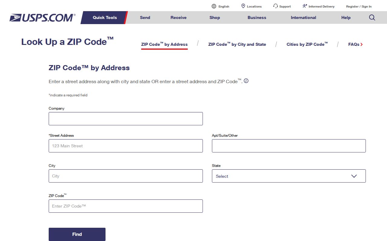
The USPS image illustrates an address-to-ZIP workflow. It does not provide a ZIP-to-person list, a municipal ruling, or a historical address conversion.
Lima ZIP Code Search Systems
A few Ohio systems accept ZIP data, but each has a limited purpose. USPS verifies delivery for the address entered. Ohio DRC offers a ZIP input within its correctional search. Ohio Unclaimed Funds allows ZIP with name, city, or property information in its claim search. Those separate functions do not create a general resident or block directory. They are most useful when their own record type already matches the question.
| Official system | ZIP method | What it can establish | Limit |
|---|---|---|---|
| USPS ZIP Lookup | Address-to-ZIP | Delivery code for a submitted address | Not a people search. |
| Ohio DRC search | ZIP input | Results meeting that system’s published criteria | Not a neighborhood directory. |
| Ohio Unclaimed Funds | ZIP with other claim data | A possible state claim lead | Proof is still required for a claim. |
| Allen GIS REST schema | OWNZIP field | A property-owner mailing ZIP may exist in data | No ZIP-only public GIS control was observed. |
| Ohio Data Act voter route | County and date package | A public registration-file route | No inspected ZIP filter. |
Use the Ohio DRC search only for its defined correctional purpose and confirm identity through the responsible agency. The Ohio Unclaimed Funds portal is likewise a claim lead, not proof of ownership. Do not use either system to assemble a list of people in a ZIP code.
The targeted Ohio Voter Lookup requires first name, last name, and county, with Allen selected for Lima. The Ohio Data Act voter portal instead organizes public file access by county and date. Neither observed route supplies a ZIP search mode.
The DRC search screen is shown by the official DRC source.
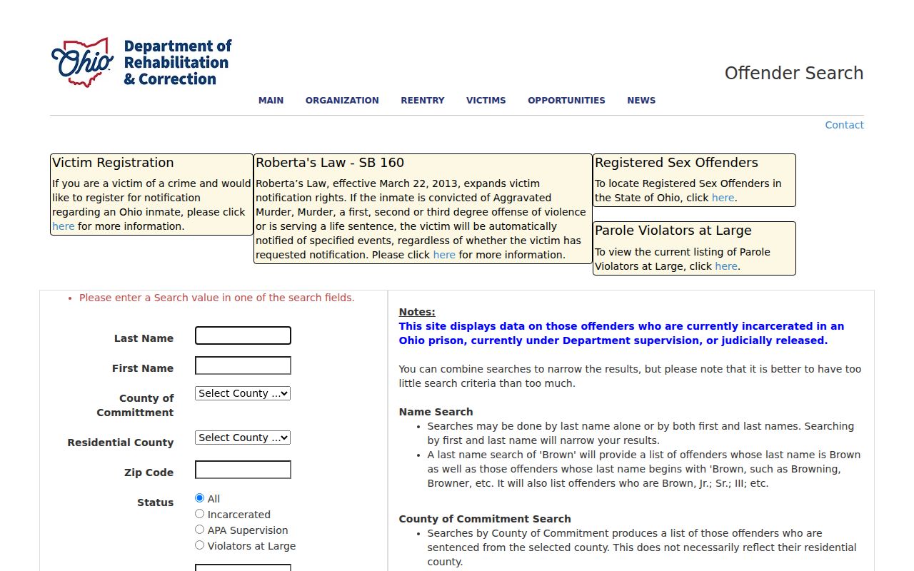
The screenshot documents that a ZIP-capable state field has a narrow record purpose. It should never be recast as a Lima address or neighborhood tool.
Note: Entering a ZIP in a purpose-specific system does not verify that a person lives at an address.
Lima ZIP Code and Land Terms
Postal terms and land-record terms need separate labels. Allen GIS distinguishes the physical parcel location from published mailing data, and recorded land files use a legal description, plat, lot, or parcel number for continuity. A mailing address may be somewhere else. A current tax field or delivery label also does not establish who is presently at a location. Use each field only for its documented role.
- ZIP Code and ZIP+4
- A ZIP Code directs mail to a delivery area. ZIP+4 adds a more specific delivery segment; use USPS to verify it for a particular address.
- P.O. Box ZIP
- A code used for box mail. Recorder 45802 is a local example and is not a neighborhood boundary.
- Unique ZIP
- A code assigned for a particular organization or delivery arrangement. Do not infer one without an authoritative postal source.
- Carrier route
- A mail-delivery grouping. It is not a property legal description, municipal line, or resident list.
- Situs address
- The physical parcel location. Keep it distinct from an owner or correspondence mailing address.
- Legal description
- The plat, lot, acreage, subdivision, or similar land description recorded with the property.
The practical chain is simple: delivery address to USPS, physical parcel to GIS, and ownership-history question to recorded legal land material. If a street number changes, the legal description and parcel continuity may be more reliable than a ZIP match.
Lima ZIP Code Boundary Evidence
The main mistake with ZIP research is treating a ZCTA as a city border. It is not. A Lima mailing label can include land outside City jurisdiction, and a county parcel may be associated with a postal name without being governed by City regulations. Use GIS road centerlines, address points, parcel geometry, and municipal boundaries for a current geographic check. Allen GIS also makes weekly data downloads available, including parcels, road centerlines, address points, municipal boundaries, and a City of Lima owner-data extract.
The GIS service schema includes an OWNZIP field, but the documented public interface provides Find Address, Find Intersection, map browsing, and related map tools. It does not show a public ZIP-only search screen. A field in the service is not proof that a reader can enter 45801 and retrieve every property or person.
Use the Allen County GIS downloads for documented layers and ask Lima Planning and Zoning about an actual city-service or jurisdiction question.
The Census portal supplies the statistical ZCTA view.
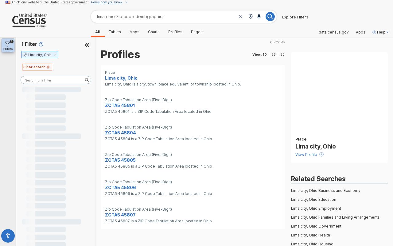
The Census image is useful for identifying the Lima-area ZCTAs. It cannot establish a USPS delivery boundary, a zoning line, or the exact edge of a neighborhood.
Lima ZIP Code Historical Addresses
Current postal verification cannot translate an old address by itself. For a historical street, retain the spelling and number that appear in the dated source. Then ask Lima Public Library for city or phone directories and the 1936 WPA real-property inventory, compare the source-year Sanborn map, and use Recorder plats or legal descriptions as needed. This is slower than assigning a modern ZIP from a map, but it preserves the actual record trail.
No official Lima street-grid description, citywide renumbering chronology, named-street change list, or ZIP realignment history was found in the research. That is a real research gap. Request a specific ordinance, plat, map, directory volume, or Museum source for the particular address instead of inventing a fixed neighborhood-to-ZIP boundary.
The Census QuickFacts profile provides current city context, not a historic postal map.
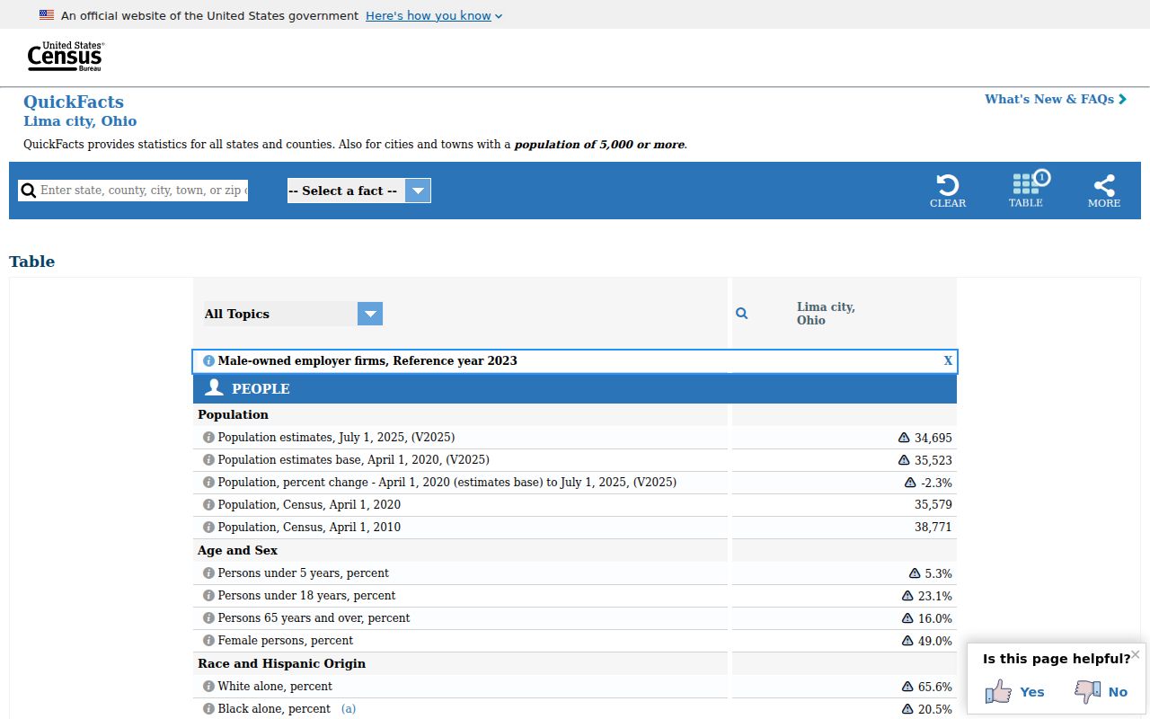
Use the QuickFacts image only as city-level context. It does not assign a ZIP code to a street, parcel, or historic household.
Lima ZIP Code Privacy Limits
A postal code is not permission to reconstruct a protected location. Ohio Safe at Home can protect qualifying participants’ residential and linked property addresses, including special handling for voter records. A missing address is a protection to respect, not a gap to work around through combinations of maps, delivery data, and archived sources. Records also can be sealed or subject to source-specific restrictions.
The ZIP code is a routing clue. It should stay subordinate to the privacy rules and the terms of the official source that supplied it.
Lima ZIP Code Search Limits
The reliable process runs from a known address outward: street address → USPS delivery ZIP → GIS situs and boundary check → parcel or legal-description research when needed. A ZIP-first request is often too broad, and no observed local public interface turns a Lima ZIP code into a complete roster of households or properties. City boundaries, postal labels, and Census ZCTAs must remain separate.
When results conflict, keep each source’s date and wording. USPS answers delivery. GIS answers current county spatial data. The Recorder answers recorded legal land descriptions. City departments answer municipal action. For a narrow address question, those distinctions are more useful than a broad but unsupported ZIP label.
Note: Ask the relevant custodian about a specific address, map layer, parcel, or recorded instrument when the postal result is not enough.