
Lima Neighbors Block Record Coverage
For a block question, start with geography. The Allen County Public Access GIS is the current parcel and map route. Its surrounding polygons show adjacency, lot geometry, and published parcel context. Deeds and plats then add recorded land history. A targeted voter result or a dated library source can answer a different, narrower question. None of these sources is a government-issued roster of every household around a Lima address.
| Block source | What It Shows About a Block | Access |
|---|---|---|
| GIS parcel polygons | Adjoining lots, geometry, situs, and current published owner, mailing, or tax context | Free map with weekly current data |
| GIS layers and downloads | Roads, address points, municipal boundary, school, and tax districts | Geographic and administrative context |
| Recorder plats and deeds | Subdivision, legal description, and adjacent conveyance history | Account route or Recorder counter |
| Board of Elections routes | Targeted registration result or county/date public-file route | Name-and-county or request based |
| Library and Museum sources | Dated property, address, map, directory, or newspaper context | Specific item or research inquiry |
In this workflow, “neighbor” means an adjoining or nearby parcel. It does not mean that every nearby structure has an identified resident or that two listed records prove a personal connection.
Lima Parcel Geometry for Blocks
Read the polygon before reading a name. The GIS map supports Find Address, Find Intersection, map browsing, and selection. Enter a known address first. If the number is uncertain, use an intersection to orient the map, then inspect parcels one at a time. Record the retrieval date, parcel number, tax identifier, situs components, legal-description text, and each published owner or mailing field separately. A map highlight is temporary, so retain the identifiers in a research note rather than relying on the active selection.
The parcel service documents fields for parcel and tax information, legal description, situs, deed owner, owner mailing name and address, value, tax, sale, and homestead information. These are property fields. A mailing address can differ from the situs address, and a current deed-owner field is not proof that a specific person occupies the physical location. A multi-unit structure or unusual parcel can represent more than one street number without identifying individual units.
- Parcel
- A mapped unit of land used in the county’s property system.
- Situs address
- The physical location label associated with a property in the parcel data.
- Legal description
- The lot, subdivision, addition, or other land description used in recorded land documents.
- Mailing field
- The address supplied for correspondence in a property record, which can differ from the situs.
Map Lima Neighbors Around an Address
The immediate-block method follows the map’s own spatial controls. The Reference Object tools include Show or Hide Target, Run Search, and Clear Results. Buffer offers a layer, radius, unit, Run Search, and Clear Results. Measure supports distance or area with a unit selector and live update. Use the smallest sensible area, because an expanding radius does not turn a parcel map into evidence about people.
- Find the reference address or use an intersection to locate the correct area.
- Select the reference parcel and record its number, situs, and legal-description clues.
- Use adjoining polygons, a target, or a measured buffer to identify nearby parcel numbers.
- Open each nearby parcel separately and keep its published land fields distinct from the reference parcel.
- Use a plat or deed only when the question concerns a shared lot history or recorded transfer.
Address → reference parcel → adjoining parcel numbers → published land fields → plat or recorded instrument is a defensible block process. For a full named-street record chain rather than an immediate block, use the Lima street directory.
Lima Neighbors Voter Boundaries
Ohio voter records do not create an on-screen Lima neighbors roster. The official Voter Lookup requires first name, last name, and county. With Allen selected, it returns a targeted registration, precinct, and polling-place result. The research did not find a street-first list in that interface. The Ohio Data Act route is also limited: it organizes public snapshots by county and date, rather than presenting a verified block list.
Safe at Home provides a further boundary. Protected participants can have confidential registration and address handling. Do not treat an absent result as evidence of nonregistration or try to fill a gap with parcel, map, or historic-source details. For a particular election record, precinct map, or dated file question, the Allen County Board of Elections is the appropriate custodian.
Lima Block Records Compared
Official sources and commercial neighbor-search categories serve different purposes. The county map, Recorder, clerk, and election offices identify the public record they maintain and the limits that attach to it. A commercial directory category can combine claims from mixed sources, may be stale or mismatched, and is not a substitute for confirming an item with its custodian. Keep a record’s original source and retrieval date instead of treating an assembled profile as a conclusion.
| Official record route | Commercial directory category |
|---|---|
| Labels a parcel, court file, registration result, or recorded instrument by the custodian’s stated scope. | May combine information of different dates and uncertain origin. |
| Supports an inspection, copy, or correction request with the responsible office. | Does not replace the underlying custodian or a correction process. |
| Requires reading privacy, sealing, and access limits for that record. | Should not be used to overcome a protected record or address. |
The scope of Ohio’s Public Records Act is shown at the official source.
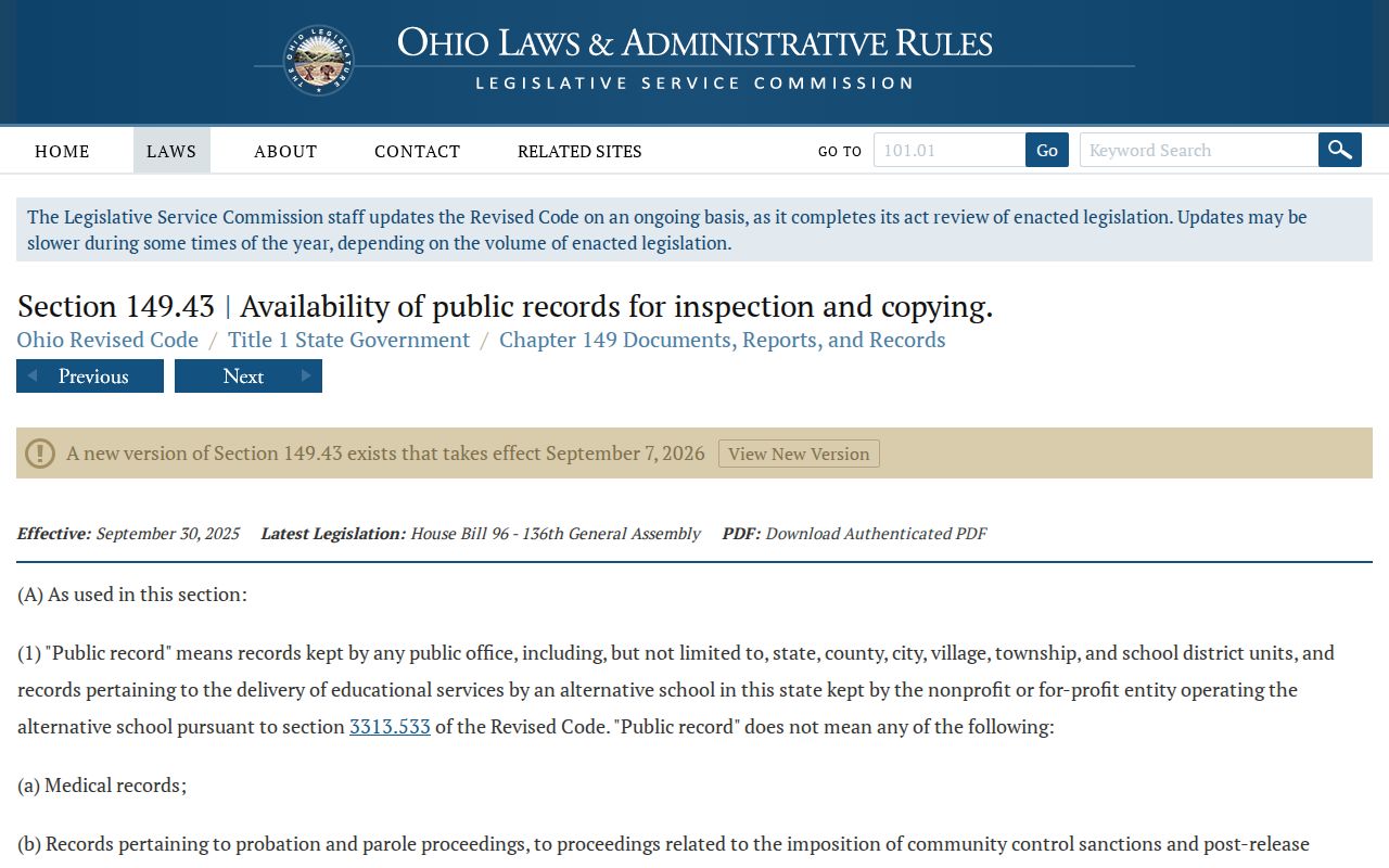
The law gives access to eligible existing records, subject to exemptions. It does not require an office to create a social map or a new database.
The Clerk’s policy and request path are illustrated at the Allen County Clerk public-records source.
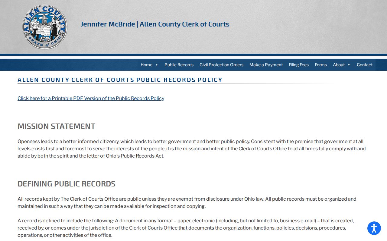
A narrow request can ask to inspect or receive an existing identified file, but it does not open protected or sealed material.
Lima Neighbors Association Directory Gap
No official City of Lima umbrella neighborhood-association directory, association roster, block-watch directory, or municipal civic-association member list was located in the research. That gap matters. A map, property field, or unauthoritative online group is not a replacement for an official association record. Do not infer that an address belongs to a named group or that a person participates in one without a source that expressly supports it.
City Planning and Zoning
For a geographic, zoning, lot-split, alley, or vacation question, use the City Planning and Zoning route. It is the relevant municipal contact for land-use questions, not a neighborhood membership directory.
When the needed question is historical rather than municipal, request a named item from the Library or Museum. State the address, target year, and whether the need is a plat, directory, newspaper, or map reference.
Historic Lima Block Context
Historic block work needs date discipline. The Lima Public Library catalogs a 1936 WPA Real Property Inventory, City of Lima, and Library of Congress sheets show Lima in 1887, 1893, and 1899. A source-year map can show a building pattern or street context at the time of that map. It cannot prove that a person named in a directory belonged to the same structure. Pair maps with a directory, deed, census, or newspaper item from the relevant period and label every source by its year.
The City’s history material is represented at the Lima Local History Hunt source.
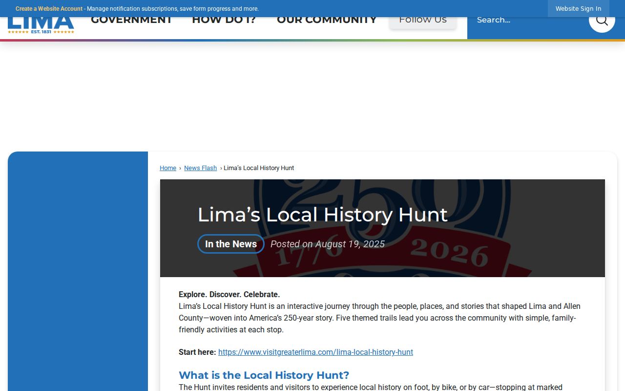
The Local History Hunt is a place-based public-history layer with institutional partners. It can point to meaningful places and collections, but it does not identify participants or provide a residents list.
For older names and addresses, the Library’s directories and phone books, Museum newspaper vital extracts, and selected historical materials can offer dated context. Ask for a particular volume or year, because the research does not establish a continuous address directory for every Lima block.
Privacy Limits for Lima Blocks
Parcel geography has firm personal limits. The county sources reviewed do not provide a reliable inventory of non-owner household members, protected participants, delivery recipients, or motor-vehicle contacts. An adjacent polygon and a different mailing field are property-record facts. They are not proof of a personal relationship, household composition, or who is currently at a location. Court, vital, and election records also retain their own confidentiality rules.
Ohio Safe at Home can shield a qualifying residential address and linked property address after notice to county offices. Sealed, expunged, juvenile, adoption, and civil-commitment materials can be unavailable. Respect an inaccessible record as a lawful boundary. Do not use combinations of public sources to reconstruct a protected address.
Lawful use. Use these geographic records for personal, lawful research. Never use a map, record, or address detail to stalk, harass, threaten, or intimidate another person.