
Find a Lima Street Address
The address-first route uses Allen County Public Access GIS. Its observed tools include Find Address, Find Intersection, map browsing, target and reference controls, layer selection, buffer, measure, coordinates, and oblique views. The map begins a Lima street directory search by locating a physical parcel. It does not produce a street roster. Record the result as current parcel context, then move to a land document or dated historical source for any older conclusion.
- Enter the full address in Find Address. If the number is uncertain, use Find Intersection to orient the correct street segment.
- Select the parcel and copy its parcel number, tax ID, situs components, legal-description text, sale fields, and the date of retrieval.
- Use the legal description, lot, subdivision, or parcel number to locate the current recorded instrument through the Recorder account route or counter.
- For an earlier time period, request a dated library directory, WPA inventory entry, map sheet, or newspaper source. Preserve its title, page, and year.
- Compare only matching dates and identifiers. A current map field and an older directory entry answer different questions.
That sequence keeps the street directory focused on address evidence. A parcel label may name an owner or mailing party, while a deed identifies recorded parties and a directory may offer a dated entry. None of those labels, standing alone, lists every person connected with a street address.
Lima GIS Street Search Fields
The county has documented its map controls more clearly than a conventional property form. These are the fields and actions observed in the public interface. The unlisted choice sets for layers and modes should not be assumed from other mapping systems.
| GIS control | Input type | Street use | Observed limitation |
|---|---|---|---|
| Find Address | Text | Locate a known Lima address | No published entry syntax |
| Find Intersection | Text | Orient an uncertain street segment | Not a person search |
| Map Layer and Mode | Dropdowns | Select visible map features | Static review did not expose all options |
| Reference Object | Target controls | Set, run, or clear an address reference | Spatial aid only |
| Buffer and Measure | Number, unit, tools | Review nearby parcels or frontage | Not a legal survey or household query |
| Latitude and Longitude | Text | Zoom to coordinates | Requires the correct coordinates |
The Allen County GIS downloads page adds weekly parcels with Auditor tax data, road centerlines with road ranges and names, address points, and municipal, school, and tax-district boundaries. Those downloads support a current geographic check, not a historic address chronology.
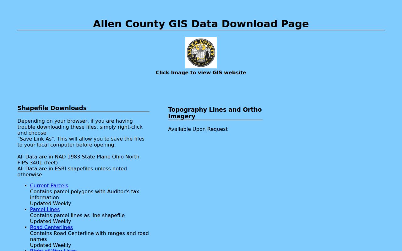
The download view is useful when an address needs a current road-range or parcel-layer check before the research moves to a recorded document.
Lima Parcel Labels by Address
The county parcel service exposes a detailed current field set. A returned feature can include PARCEL_NO, TAXID, legal-description lines, DEEDOWN, owner and mailing-name fields, house-number and street components, owner ZIP, values, sale date and amount, homestead, annual tax, tax district, and school. Capture the exact field wording rather than turning each item into a broader personal claim.
The parcel feature-service schema also places the data in a current map layer with a stated 1,000-record maximum. It did not reveal a direct recorded-document image link. The proper next stop for an instrument is the Recorder, not an inferred link from the parcel map.
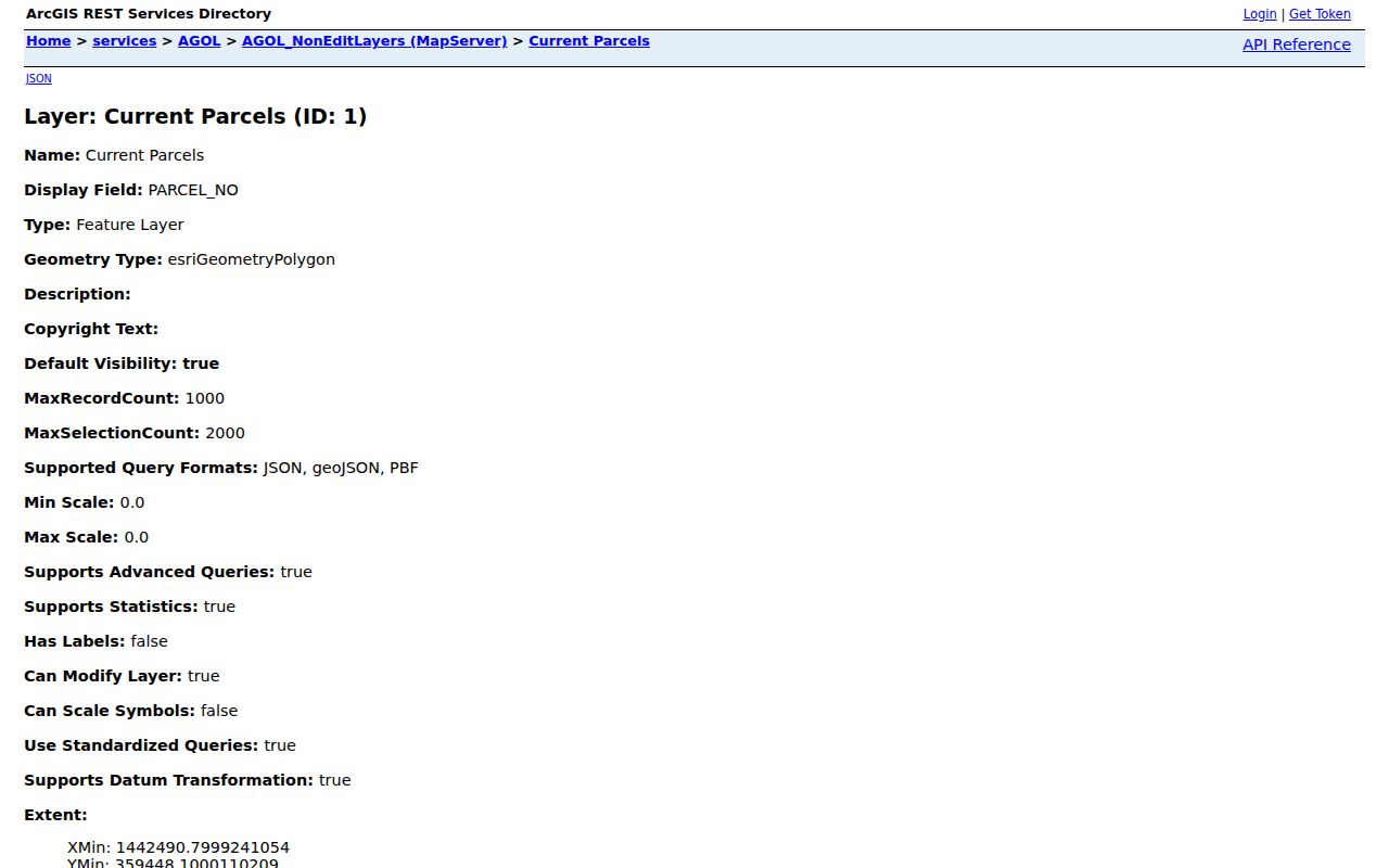
Seeing the service fields makes the distinction clear: the map supplies a current parcel record, while the recorded deed supplies the document trail behind it.
Lima Street Record Coverage
Several Lima sources use an address, parcel, legal description, or name in different ways. A street directory result is strongest when it states which source supplied the fact and what that source does not establish.
| Address record | Lima keeper | Useful result | Boundary |
|---|---|---|---|
| GIS parcel layer | Allen County Auditor/GIS | Current parcel, situs, values, tax and mailing fields | Not a full historic roll |
| Road and address-point data | Allen County GIS | Current road ranges, names, and address points | No citywide renumbering history found |
| Recorded instruments and plats | Allen County Recorder | Parties, legal descriptions, lot and subdivision clues | Account gate and no published online start date |
| Building and planning route | City of Lima | Address, lot, owner, or parcel identification | No completed-permit history was demonstrated |
| Historical library sources | Lima Public Library and Museum | Dated maps, directories, newspapers, and property leads | Item and year must be confirmed |
| Voter lookup | Ohio and Allen County elections offices | Targeted registration result for a named person | No verified street-first roster |
Current parcel geometry can organize a Lima street block by block. It should not be read as a list of households. The street name is a discovery key; parcel continuity and legal-description text are the durable links across a deed, plat, and older map.
Lima Situs and Legal Descriptions
One property can carry several address-like labels. The county schema makes this especially important because it publishes both physical street components and owner or mailing fields. A change in one field is not evidence that every other field changed at the same time.
- Parcel
- A mapped unit of land identified by a parcel number or tax ID. A parcel polygon can cover more than one structure or street number.
- Situs address
- The physical street location, represented by house-number and street fields. It identifies where the parcel sits.
- Mailing address
- The correspondence address in the tax roll. It may be elsewhere and does not establish present occupancy.
- Legal description
- The lot, acreage, subdivision, plat, or metes-style land description used to bridge an address to recorded instruments.
- Plat
- A recorded subdivision or addition map that can reconnect a lot name to a legal description.
Homestead is also a tax attribute, not a roster. Likewise, the deed-owner and mailing fields may be useful cross-checks, but neither enumerates other household members. Those limits matter whenever a street has apartments, split parcels, changed lots, or a newly assigned street number.
Lima Street Segments in GIS
For a block-level geographic question, set a target near the address, select the correct visible parcel layer, and use buffer or measure tools to inspect adjoining polygons. The available reference controls are Show/Hide Target, Run Search, and Clear Results. Buffer tools expose a layer, radius, and unit. Oblique imagery offers north, east, south, west, and orthogonal orientations at neighborhood or community level.
Those tools help distinguish a street segment from a single parcel. They do not determine a legal boundary, identify every person associated with nearby structures, or prove a relationship between two property fields. Preserve adjacent parcel numbers and retrieval date in a manual log before clearing map results.
Note: Current GIS downloads update weekly, so record the date whenever a street-level map observation supports later deed or archive research.
Lima Plats and Deed Clues
The Recorder is the authoritative location for the deed, mortgage, plat, and related recorded document. Its PAXWorld entry requires account access, and the published pre-login screen does not disclose a searchable field list, online start year, or image coverage. A map name or current owner field is therefore a lead to inspect the actual instrument, not a finished chain-of-title conclusion.
The Recorder's plat alpha index has a category called “Additions in and Adjoining Lima.” A subdivision or addition name can reconnect an old legal description to a lot when a street address changed. Record the plat name exactly, then compare it with parcel, deed, and map evidence.
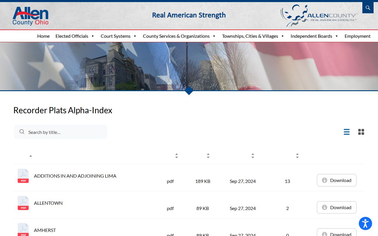
The index provides a local bridge from a plat or addition name to a focused Recorder request, rather than a substitute for the recorded plat itself.
Lima Planning Address Records
City Planning and Zoning materials cover zoning clearances, lot splits, alley vacations, rezoning, variances, and zoning-map work. These can be useful when a legal description or parcel form changed. The public information reviewed did not establish a searchable history of every action by address, so requests should name the address, parcel or lot, record type, and time period.
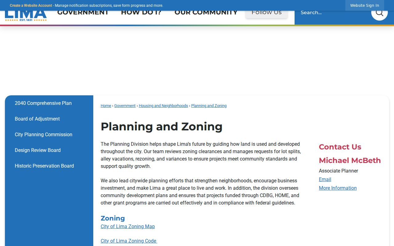
The planning route is best for a specific land-use or lot question. It is not a street-by-street resident index.
Lima Building Address Route
The Lima Building Department describes SmartGov applications that can identify a property by house number and street name, lot number, owner name, or parcel ID. The department says it tracks permit approvals and inspections. Its public material does not document an archive start date, completed-record results, or an address-history viewer, so a non-result cannot establish that no activity occurred. Building can be reached at 419-998-5541 for a focused record question.
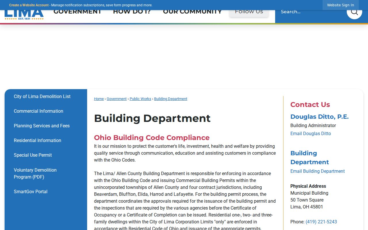
A permit or application may date work on a property, but the named applicant or published owner must not be treated as proof of an occupant.
Lima Street Voter Boundaries
Ohio's Voter Lookup is targeted: it requires first name, last name, and County, with Allen selected for Lima. After a result, the tool may use street or address context to narrow a particular match. It returns registration-related, precinct, and polling-place information for that result. It is not a public screen for browsing every voter on a street.
The separate state voter-data portal uses election, date, and county selections for public-file requests, while the Allen County Board of Elections administers local registration records. Safe at Home participants have protected registration and address treatment. A missing or limited result is never a reason to seek around those safeguards.
Note: A tax or school district on a parcel map is not a substitute for the applicable election precinct map or an official Board of Elections response.
Historic Lima Street Context
Older street research needs dated sources. Lima Public Library identifies city directories, phone books, local newspapers, census material, and a 1936 WPA Real Property Inventory, City of Lima. Ask for a title, page, exact transcription, and whether the specific volume has an address or reverse section. No verified online local reverse-directory run or citywide renumbering list was found, so an address conversion should be supported by actual maps, plats, deeds, and directory items.
The Library of Congress offers Lima Sanborn sheets for 1887, 1893, and 1899. A map depicts its own survey year and a building or street configuration, not later people. Pair the correct sheet with a near-year directory, recorded document, census snapshot, or newspaper source. Selected Lima Times-Democrat runs and newspaper extracts add dated context, but neither is continuous.
The City of Lima department directory is a separate current public-office reference. It can help route a current request to the right municipal counter, while historical address questions remain with the Library, Museum, Recorder, and dated records.
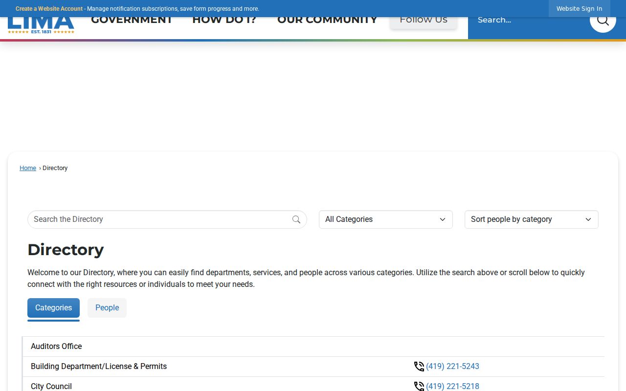
The department listing supports an office-contact check, not a historical or household directory claim.
Lima Street Record Limits
A Lima street directory based on public records cannot reliably enumerate non-owner household members, protected participants, delivery recipients, utility customers, motor-vehicle contacts, or every unit within a multi-address parcel. The Driver's Privacy Protection Act restricts personal motor-vehicle information. A parcel's acreage, value, or polygon cannot be used to infer a household count.
For an older question, keep a source-by-source trail: entered address, GIS date, parcel number, legal-description text, deed identifier and recording date, plat clue, directory title/year/page, and map sheet/year. This record of methods is more durable than a broad statement about who was connected with a street.